Town Branch of the Elkhorn is a part of the Kentucky River Basin, which extends from the northern border of the state to the Southeast. Town Branch is located near the center of the river basin and is highlighted, as well as Fayette County, in this map. Map by Russell Aulman Click to Enlarge
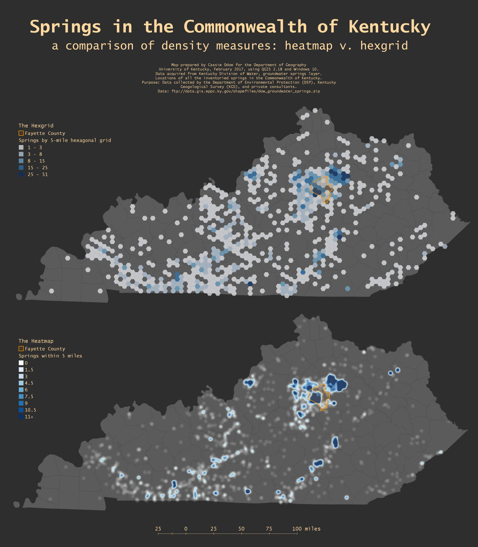
Springs of the Commonwealth
A heatmap and hexgrid showing the springs of Kentucky within a 5 mile radius or grid. Fayette County is outlined to show Town Branch's location in relation to spring concentrations Map by Cassie Odom Click to Enlarge
Mapping the trail in Fayette County
Photos and Articles Interactive Map
This map shows the status of each section of Town Branch Trail. The location of each photo and article on this site is mapped and linked here; click a point to see the photo or article at that location.
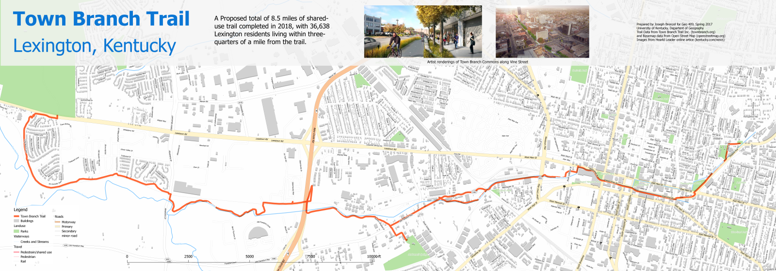
Street Map with Town Branch
This map is showing where the planned and funded Town Branch Trail is located over a base map of the streets of Lexington, Kentucky. Shown on the map are streets, parks, water features, and buildings. The trail will be within three-quarters of a mile of 37,000 people and will be 8.5 miles long Map by Joseph Brenzel Click to Enlarge
Population Density of Fayette Co.
The population density of Fayette County with the Town Branch stream shown. Fayette County is located in Central Kentucky, as shown on the state map Map by Lucas Mullins Click to Enlarge
Population Density near the Trail
This interactive map shows the population density within one mile of the trail is shown using U.S. Census blocks.
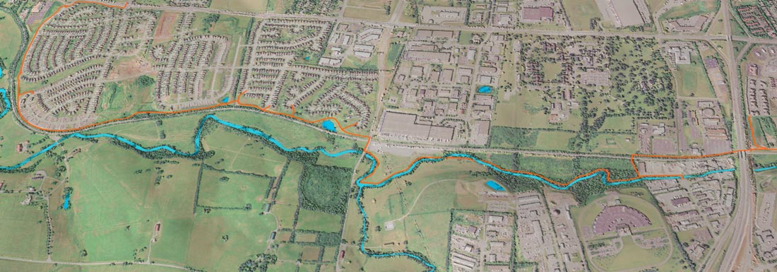
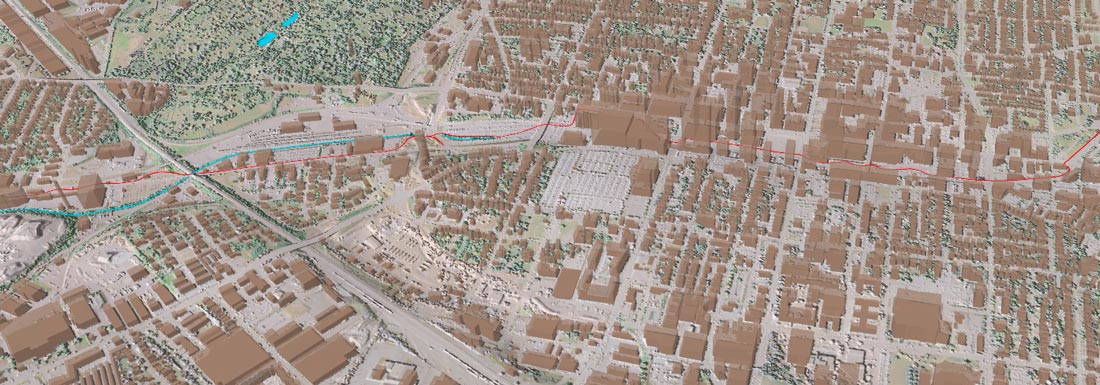
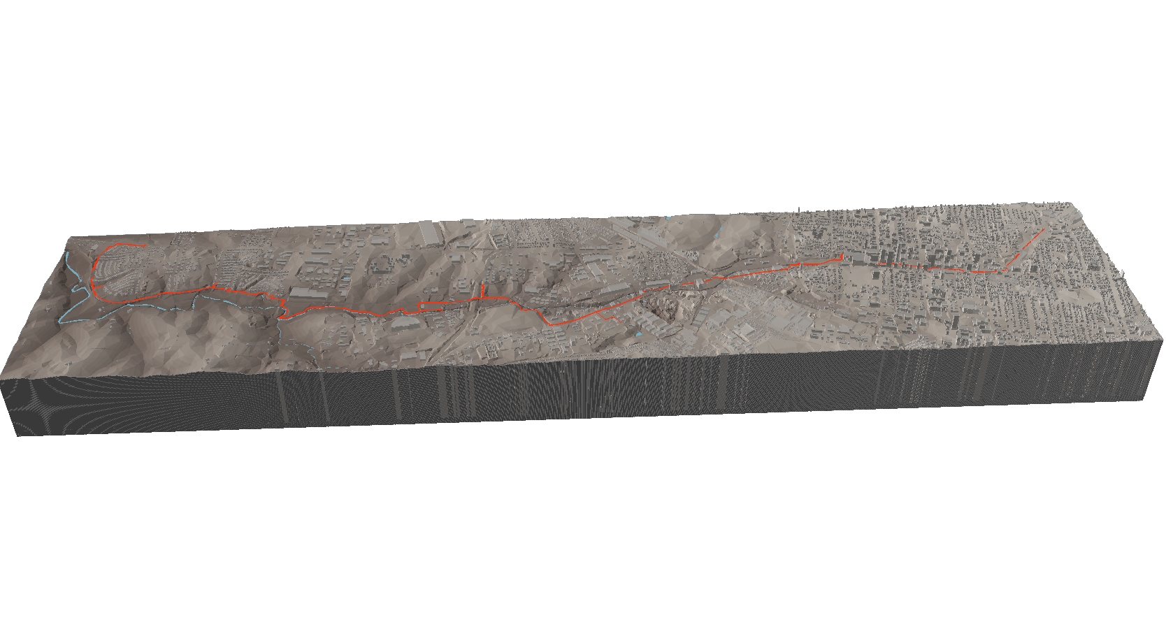
Town Branch meets the 3rd dimension in Cyberspace
Derek Thomas, 3D fly through using ArcGIS ArcScene
Justin Holt, Interactive 3D map using QGIS and Qgis2threejs Click to open 3D viewer
Lucas Mullins, Interactive 3D map using QGIS and Qgis2threejs Click to open 3D viewer
Alex Vogelgesang, 3D view using ArcGIS ArcScene
Mitchell Boles, 3D fly through using ArcGIS ArcScene